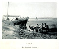
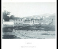
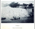
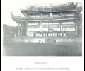
Scans of all 55 plates of Ogawa Kazumasa's outstanding (and now very rare) publication Souvenirs de Formose et des Îles Pescadores (Ogawa, Tokyo 1896). The sites and scenes depicted here follow roughly the main western transportation artery of Taiwan (Formosa) at the end of the 19th century, i.e., from Taipei in the north towards Kaohsiung in the south via Jiayi and Tainan. Of great interest are the images related to the Pescadore Islands (Penghu 澎湖), and those photographs documenting a foreign (Spanish, British, French) presence on or historical involvement with the island.
For a decent map of Taiwan dated to exactly 1896, see the
Map of Taiwan [Formosa] 1896 From the Scottish Geographical Magazine. Published by the Royal Scottish Geographical Society and edited by James Geikie and W.A. Taylor. Volume XII, 1896.
Thomas H. Hahn
Ithaca, NY


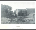


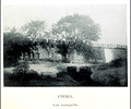

![Unrin [Yunlin]](/img/s/v-10/p612064554-10.jpg)
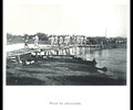
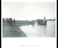
![Lake in the environment of Unrin [Yunlin]](/img/s/v-10/p875378281-10.jpg)
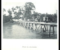
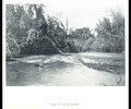
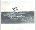
![Lake in the environment of Unrin [Yunlin] II](/img/s/v-10/p922364164-10.jpg)